|
My investigations, which are of
course far from complete, have been limited to the study of some printed
maps. The first of these¡ªsometimes called incunables¡ªare exclusively
based on Ptolemy¡¯s cartographic heritage, the ¡°Geographia¡±.
With so many hand-written copies of the original work, when the copiers
had also allowed some textual interpretation of their own, the variants
are no surprise. As the Latin translation of the text of ¡°Geographia¡±
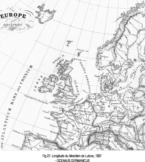
also contains the name ¡°Germarucus Oceanus¡±(¡°where the River Rhine has
its mouth¡±) we can assume that the original name had the generic term
¡°ocean¡±.
The German Hieronymus Manzer solved the dilemma of ¡°oceanus or mare¡±
by placing ¡°Oceanus Germanicus¡± on

 
the North Sea and ¡°Mare Germanicum¡±? The Baltic Sea in his map dated
1493. It is found in the famous chronicle of the World by Nuremberg
scholar Hartmann Schedel(Liber Chronicarum).
The noted German humanist scholar and cartographer Nicolaus Cusanus
had another solution. He put the name ¡°Mare Oceanum Germaniae¡± on his
famous map of Central Europe(1491). Another German Erhard Etzlaub went
a step further and translated the name into German. His map of Central
Europe(1501) featured ¡°Das Gros Teutsch mer¡±(The Great German Sea).
The learned Swedish bishop 01aus Magnus also used the name ¡°Mare Germanicum¡±
on his celebrated Carta Marina in 1539, showing Northern Europe.
These name versions seemed to be therefore the accepted ones among scholars,
cartographers of this age. Mention should also be made of Gerard Mercator,
whose Atlas has several instances of using the names. In his 1587 Atlas
I found both ¡°Mare Germanicum¡±(on thus map of Zelandia part of the Netherlands)
and ¡°Oceanus Germanicus¡±(on the map of Belgium). On his lovely ¡°Europae
Descriptio¡±(map of Europe, 1572) I have also seen the name ¡°Oceanus
Germanicus¡± between a narwhal and a fish-eating sea monster, his son
Remold applied the name ¡°Mare Germanicum¡± on his map of Europe (around
1590).
Ptolemy¡¯s well-known authority on geography and geographical names as
we have seen ¡°the first UNGEGN toponymist¡± in Prof. Kadmon¡¯s words(4)
kept the name variants ¡°Mare Germanicum/oceanus Germanicus¡± or equivalent
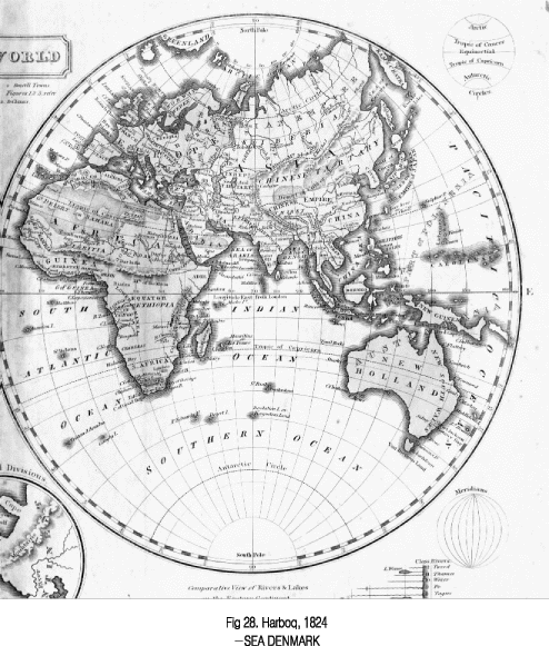
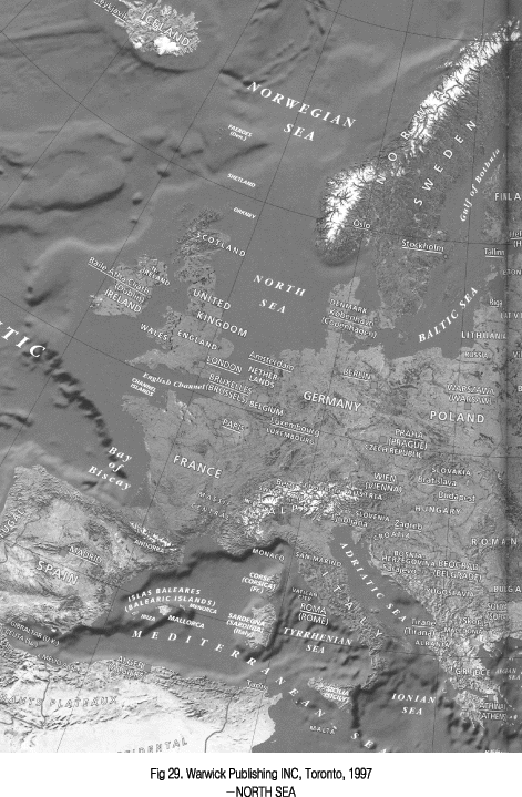
in use long after popular or local usage shifted to ¡°North Sea¡±. In
England, for example, the official name was changed from German Ocean
to the present compass point name as late as 1914!
We should also bear in mind that the Hanseatic league of German cities
had their zenith of power in the 14th and 15th centuries adding their
Influence in retaining the specific element ¡°German¡± of the sea.
The name German Sea(or Ocean) was therefore prevailing, but not exclusively
used in these old times. As I already mentioned, according to A. Ortelius,
Pliny used the names ¡°Oceanus Septentrionalis¡± and ¡°Oceanus Britannicus¡±.
Danish scholar Claudius Clavus also used another name on his map of
Northern Europe(1424): ¡°Oceanus Cimbricus¡±. Chersonesus Cimbrica was
the Roman name for the outland Peninsula. As for ¡°British
Ocean(or Sea)¡± one can find a few examples of its use (e.g. at 0. Magnus)
written closer to the shores of Britain, but Mare Britannicum almost
always stood for the present English Channel. According to another source
Graesse-Benedict(5), other ancient variants of the sea include Amalchium
Mare, Britannie ef Frisie mare, Fresonicus Ocecnus, Magnum Mare, Occidentale
Mare, Occidentalis Oceanus. As for the last two(Western Sea
or Ocean) one should compare them with the Norman Vestur Veg, with the
old Swedish Vesterhafvet or with the present Danish name Vesterhafvet.
|


